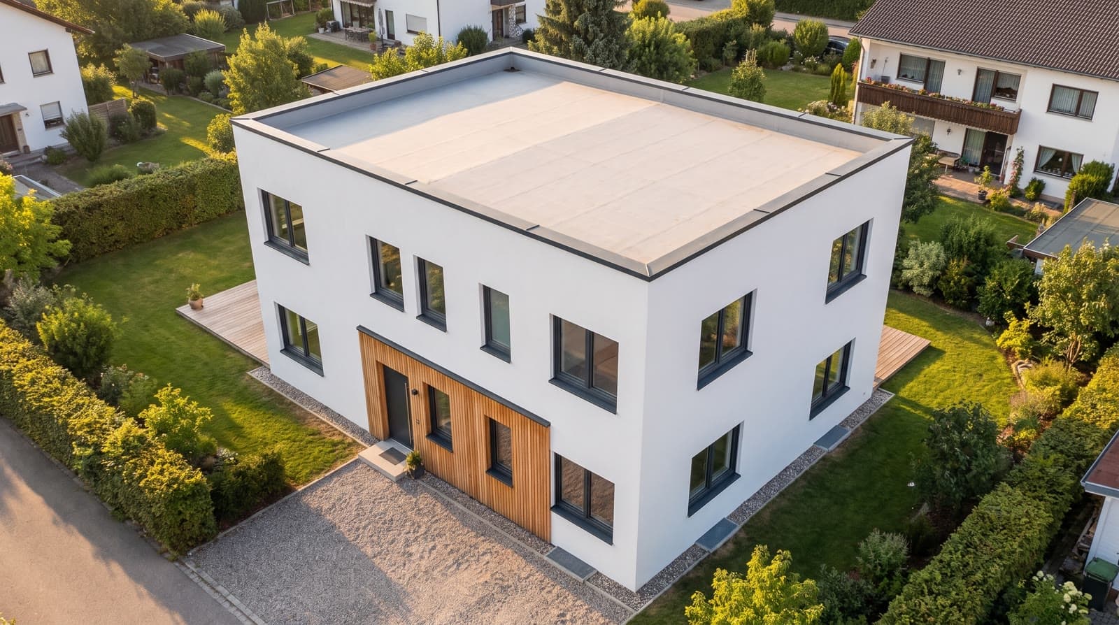
Surroundings: neighbouring buildings and aerial image around the model
Neighbouring buildings come from OpenStreetMap, the aerial image of the plot from the basemap.at orthophoto. The existing building on your own plot can be hidden. No points, no API key.
0 points
In short
The surroundings in VEDUTUM come from two open sources: the address is resolved to coordinates via Nominatim, Overpass supplies the footprints of the neighbouring buildings from OpenStreetMap in metres, and the model extrudes them as simple volumes. The aerial image of the plot comes from the basemap.at orthophoto (CC BY 4.0) and lies as ground under the model, rotated by the north angle. The existing building on your own plot can be hidden. Both cost no points.
What it gives you
The house does not float in nothing
Street, neighbours and plot are there when you orbit the model; scale and position are clear at a glance.
Shadows of the neighbours
Loaded neighbouring buildings cast shadows in the model. With the sun position you see what the neighbour blocks in winter.
Aerial image for alignment
The orthophoto under the model shows whether north angle and position are right before a picture is rendered.
How it works
- 01Check the addressThe surroundings hang on the „Adresse des Grundstücks“ (plot address) in the „Umgebung“ panel of the workspace. If it is wrong, the neighbourhood is wrong.
- 02Load the neighboursClick „Nachbargebäude laden“ (load neighbouring buildings). The outlines from OpenStreetMap appear as volumes around the model.
- 03Hide the existing buildingIf the software reports a building already on the plot, hide it with „Bestand auf dem Grundstück ausblenden“ (hide existing building on the plot).
- 04Load the aerial imageWith „Luftbild laden“ (load aerial image) the server fetches the orthophoto and lays it under the model. „Luftbild ausblenden“ removes it again.
- 05Align the north angleIf paths, boundaries and neighbours in the aerial image do not match the model, correct the north angle in degrees.
Where the neighbours come from
The address is resolved at Nominatim, then Overpass supplies the building outlines around the site. They are converted to metres, stored with the project and extruded as volumes: no façade, windows or roof shape, but position and footprint as on the map.
Completeness depends on OpenStreetMap: in towns the buildings are mostly mapped, in new developments often not. A building missing from the map is missing from the model.
The aerial image as ground
The basemap.at orthophoto is assembled server-side into a square around the site and laid under the model, rotated by the north angle. The CC BY 4.0 licence allows it to appear in generated views too; the attribution is shown in the workspace.
Pictures take neighbours and aerial image as part of the view; what the image model makes of them is an interpretation, not the real façades.
Questions and answers
Do the surroundings cost points?
No. Neighbouring buildings and aerial image are part of the preview and cost nothing.
Why is a neighbouring building missing?
Because it is not mapped in OpenStreetMap. You cannot add it in the workspace, but you can add it to the map; it appears on the next load.
May the aerial image be used in pictures for clients?
Yes. The basemap.at orthophoto is licensed CC BY 4.0; naming the source is a condition, and the attribution is shown in the workspace.
Services
From the knowledge base
More features
Next step
Put the model on its plot
Enter the address, „Nachbargebäude laden“, „Luftbild laden“. Three clicks, no points.