Sun position: light and shadow for site, date and time
The project address gives latitude and longitude; you set north angle, date and time. Solar elevation and azimuth follow the NOAA method, and the shadows move live in the model.
0 points
In short
The sun position in VEDUTUM is calculated with the method of the NOAA solar calculator from latitude, longitude, north angle, date and time. Latitude and longitude come from the project address, the north angle is entered in degrees, date and time are set in the workspace under „Sonne und Norden“ (sun and north). The shadows in the model follow in real time, and the sun position goes with every view to the image model, which lays light in that direction. It costs no points.
What it gives you
The real site
No default light from the south-west. The shadow on 21 December at 3 pm is the shadow of this plot.
An answer in the meeting
When does the balcony get sun? You drag the time slider and the client sees it.
A fixed base for pictures
Direction and length of the shadows are set before the image model adds material and light.
How it works
- 01Enter the addressCreate the project with an address or add it in the project settings. Latitude and longitude are derived from it.
- 02Set the north angleUnder „Nordrichtung des Modells (Grad)“ (north angle of the model, degrees) enter where north points on the plan. The compass shows the result; the aerial image under the model helps to compare.
- 03Choose date and timeOpen „Sonne und Norden“ in the workspace and set date and time. The shadows follow at once.
- 04Fix the view for a pictureThe time set applies to the snapshot the browser hands to the image model; a mood such as „Mittag“ (noon) or „Abendsonne“ (evening sun) is chosen with the package.
How the sun is calculated
For every combination of site, date and time the software calculates solar elevation and azimuth by the published NOAA method; the north angle rotates the result onto the plan. Shadow length and direction follow without any further call.
For planning purposes the calculation is accurate to fractions of a degree. Its limit is the input: a wrongly entered north angle rotates every shadow with it.
From the model into the picture
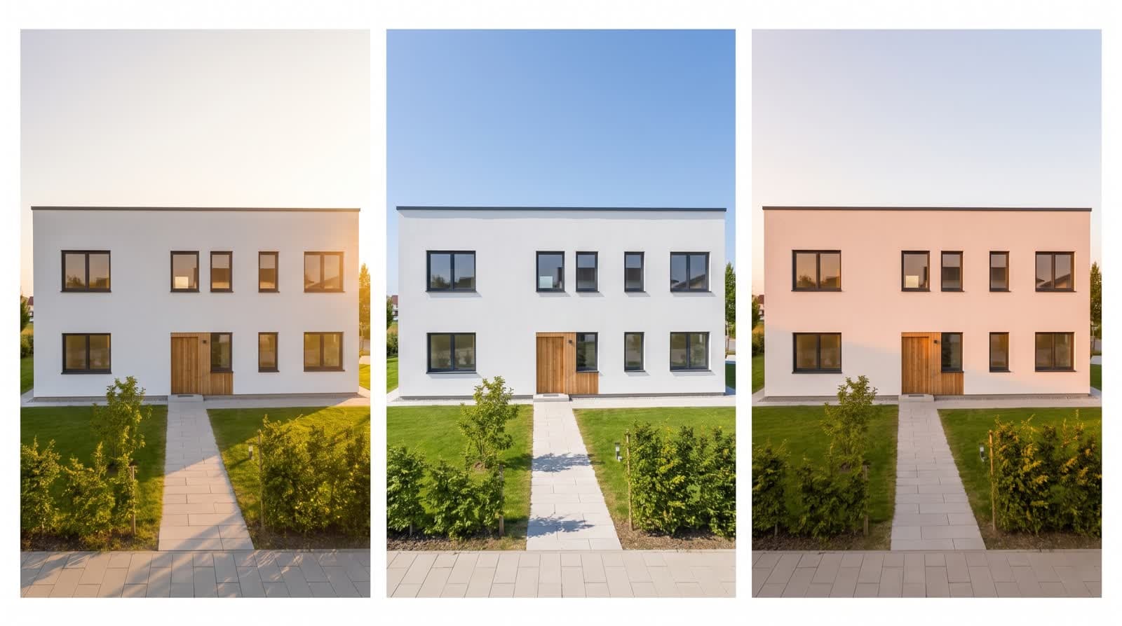
The browser hands the image model the view with the sun position set. Geometry, camera, openings and light direction are fixed; material, sky and surroundings come from the image model. The package moods, from „Mittag“ to „Blaue Stunde“ (blue hour), complement the light but do not replace its direction.
For a series across the day, record the sun study clip in the browser or render several stills at different times.
Questions and answers
Where does the location come from?
From the project address. It is resolved to latitude and longitude, both visible in the project settings.
How do I find the north angle?
Most plans carry a north arrow. Enter the angle and compare with the aerial image under the model.
Do the shadows take neighbours into account?
Yes, once the surroundings from OpenStreetMap are loaded; the neighbouring buildings then cast shadows onto your plot.
Services
From the knowledge base
More features
Next step
See the shadow of your plot
Enter the address, set the north angle, drag the time. That works in the test account without points.