In short
For a building permit, scaled plans, sections and elevations decide, not renderings. A visualisation helps where people decide who do not read drawings: the municipality, neighbours, design advisory boards. It must therefore match the submitted state — same volume, same window axes, same heights — and must not show fittings that are not part of the application.
What counts and what supports
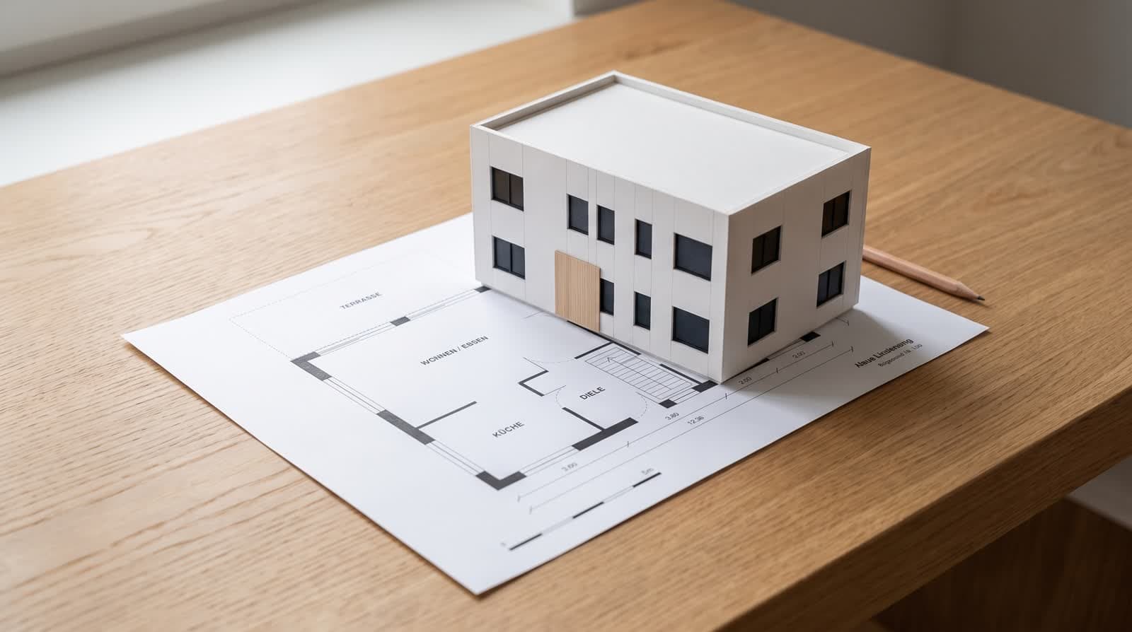
The submitted plan
Legally, the drawings count. A visualisation is an appendix, never a substitute document.
Lay decision-makers
It becomes useful when non-specialists decide: council members, neighbours, design advisory boards, townscape committees.
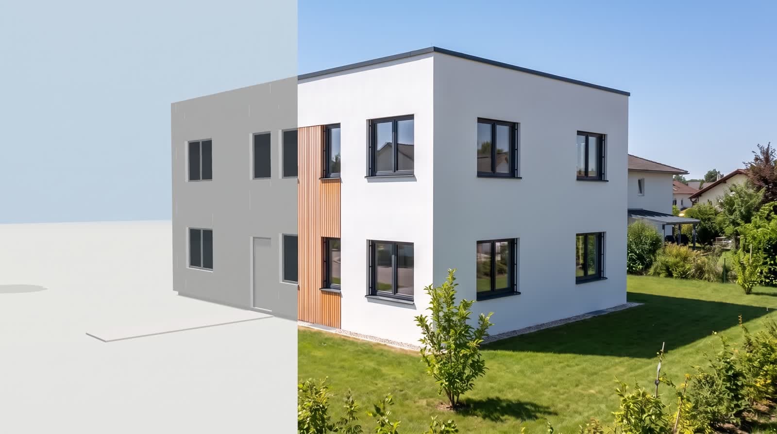
Matching geometry
Volume, heights and window axes must agree with the plan. Deviations cost trust and sometimes a round of the procedure.
Only what is applied for
What is not part of the application stays out of the image: no covered terrace, no fence, no signage.
Who actually looks at the image
The authority checks dimensions. The image works on everyone else: neighbours at the hearing, members of a design board, the municipal representatives. These groups rarely read sections.
A view that shows the building in its real surroundings answers the questions actually asked there: how tall does it look, does it take my light, does it fit the street line?
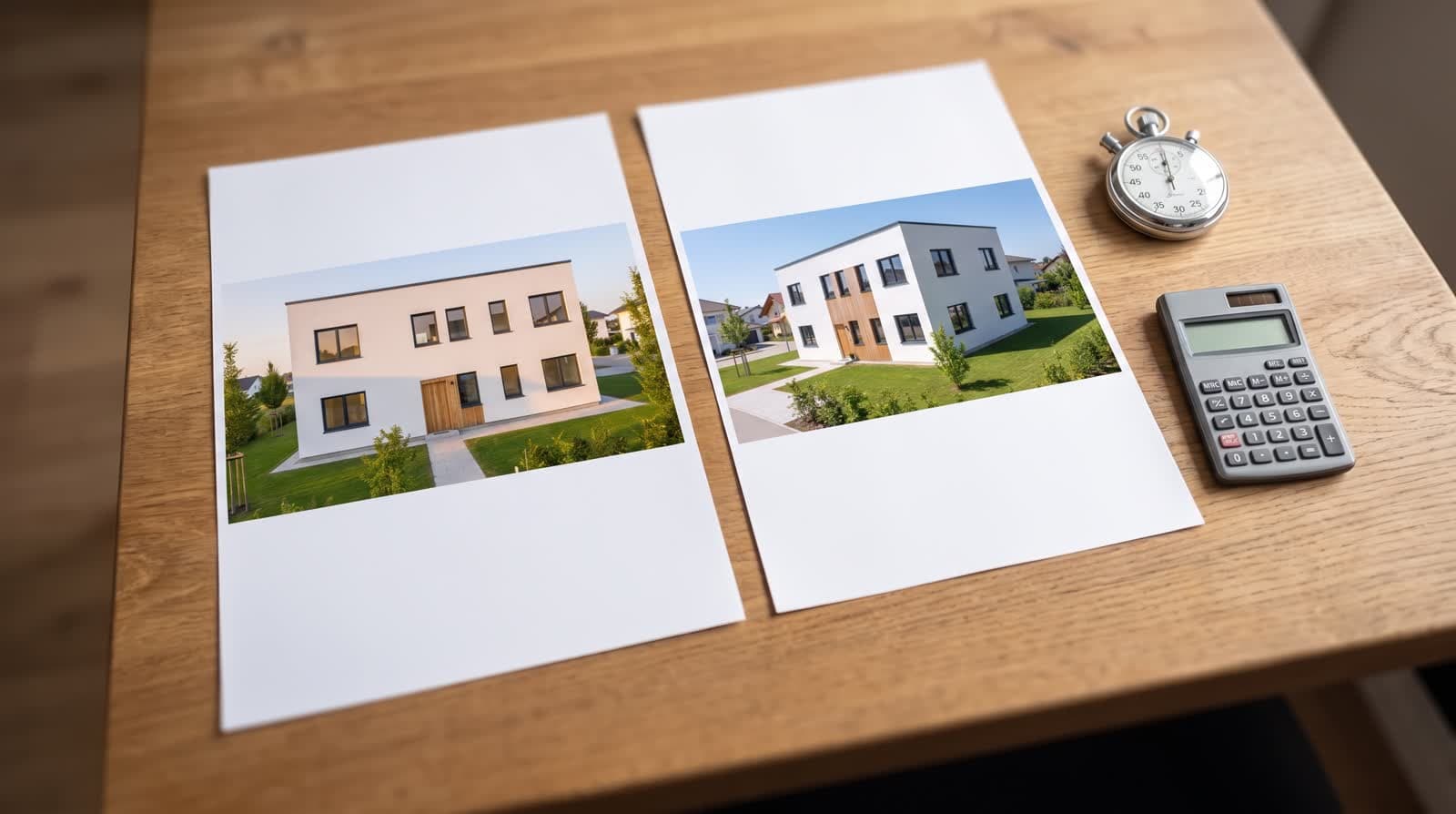
Matching the plan
The most common mistake is an image older than the plan. If the eaves are lowered by 40 centimetres during the procedure, the image has to follow.
When the geometry comes from the model rather than from free image generation, this check is simple: you change the design and regenerate the views instead of commissioning retouching.
- 01VolumeLength, width, height and roof shape.
- 02OpeningsNumber, position and size on each facade.
- 03SurroundingsDo the neighbouring buildings stand where they really stand? Footprints from open map data give true-to-scale volumes, but heights there are often estimated and should come from the survey plan in disputed cases.
Views that have proved useful
Street view at eye level
Focal length around 24 mm. Shows the effect from public space.
View with neighbouring buildings
Answers the question of fit.
Aerial view
Shows the roofscape and the position on the plot.
Sectional perspective
Explains the storeys when the height development is disputed.
What delays procedures, and how to attach images
Fittings that are not applied for
Every pergola in the image becomes a question.
Mood images with no link to the place
Mediterranean planting on an alpine site, for example.
No statement of how the image was made
If an image model was involved, one sentence belongs underneath.
Different states in different appendices
One plan state across all documents.
Resolution
For an A3 appendix 150 dpi is enough, about 2480 pixels wide. More inflates the file without becoming visible.
File name and format
Project, plan state, viewing direction, not "rendering_final_2". Several views in one PDF rather than five single images.
Responsibility stays with the planner
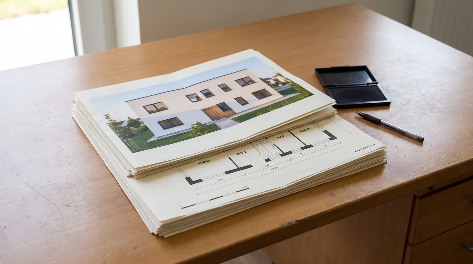
An image is a statement about a building project. Whoever attaches it is responsible for it matching the application. A short note on each visualisation helps: plan state, date and how the image was made. It costs one line and ends the discussion about whether the image was flattering.
A factual image at eye level takes the sharpness out of a public hearing because it answers the question of height and distance before it is asked. A staged evening image does the opposite and invites the suspicion that something is being glossed over. How the origin of each image is marked is described on the page about AI transparency ai transparency.
Questions and answers
Is a rendering mandatory for a building permit?
As a rule, no. Scaled plans are required. Some procedures, for example with a design advisory board or townscape protection, additionally ask for views in the existing context.
May the image look better than the building?
It must not show more than is applied for. Light and weather are creative freedom; building elements, installations and fittings are not.
How do I show the neighbouring buildings?
From the survey plan or from open map data. Heights from maps are estimates and should be checked in disputed procedures.
What belongs in the caption?
Project name, plan state with date, viewing direction and a note on how the image was made.
Sources
This article also exists in German: read the German version.